Glacial till/boulder clay
Through this project, as reflected in the previous two units of L6, I have become increasingly interested in the geology of different types of clay. In order to further my understanding of material exploration, I believe that it is first crucial for me to research the materials' origins and histories, as these studies create a resolution for my project. As such, my project is an encompassing investigation into the materials that make up the Peak District.
Glacial Till, also known as Boulder Clay, is found in many places over the UK, due to the country being covered by glaciers during the Ice Age. When the glaciers melted, they left behind layers of glacial clay. This clay is widely used and has many different properties, including being used in skincare products, agriculture, construction and water filtration. This is due to the clay's ability to absorb excess oils, help with drainage, have fine textures in the clay and also trap particles to purify water. This glacial till is also used in ceramics, due to the clay's fine texture and durability.
Despite the focus of my project being an exploration into the clays of the Peak District, I believe that it is important to compare the clays from glacial tills that I have been working with up until now to glacial clays from different regions of the UK.
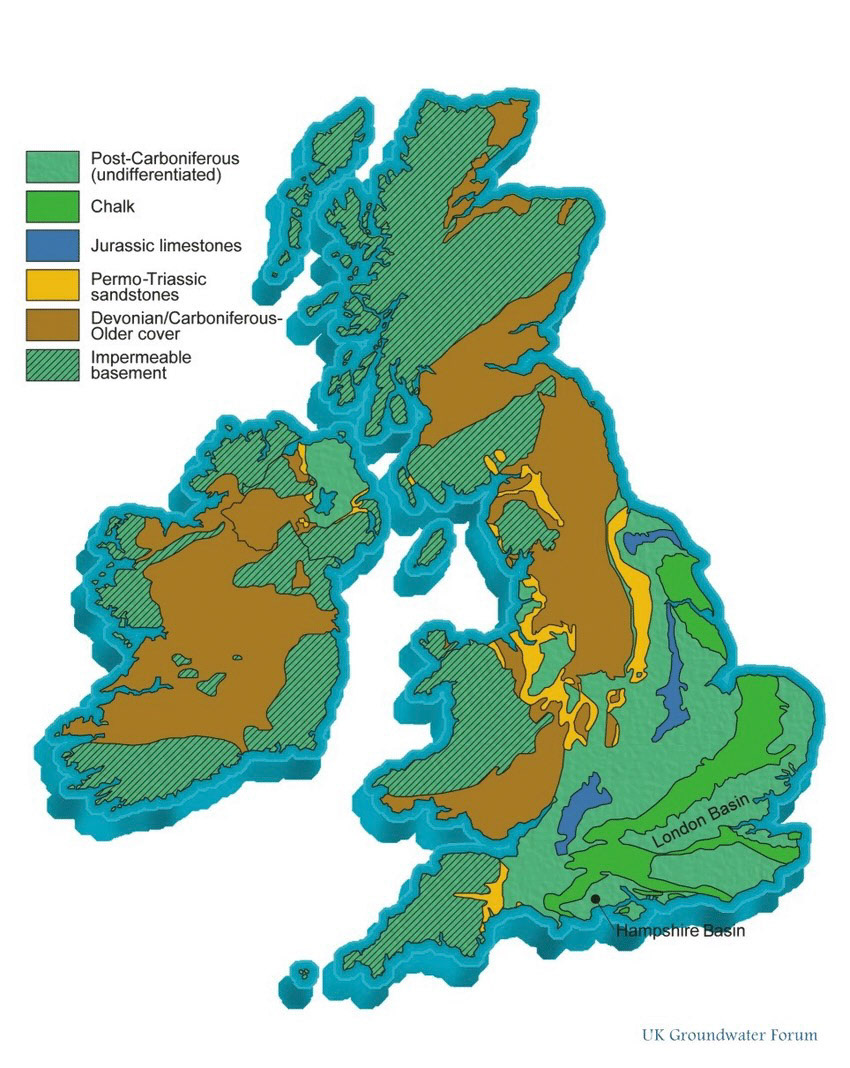
Not all wild clay that is found is glacial clay. In the UK, roughly 30-50% or one third of the country's clay is glacial till, which includes all glacial deposits such as sands, clays and gravel. This makes up the most significant amount of soils and sediments in the UK; however, depending on the region, clays such as Oxford and London clays, found in central and southern England, cover around 5-10% of the UK's soils.
Monitoring and Modelling Unsaturated Flow and Transport in the Sherwood Sandstone - Scientific Figure on ResearchGate. Available from: https://www.researchgate.net/figure/Map-of-the-different-type-of-soils-present-in-the-UK-The-location-of-the-Hatfield-Site_fig1_270098803
Cadmium sesquioxide metal binding capacity Source: Cranfield National Soil Resources Institute (NSRI), Cranfield University
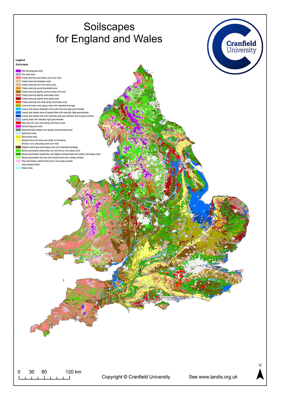
Peak District- Glacial Clay
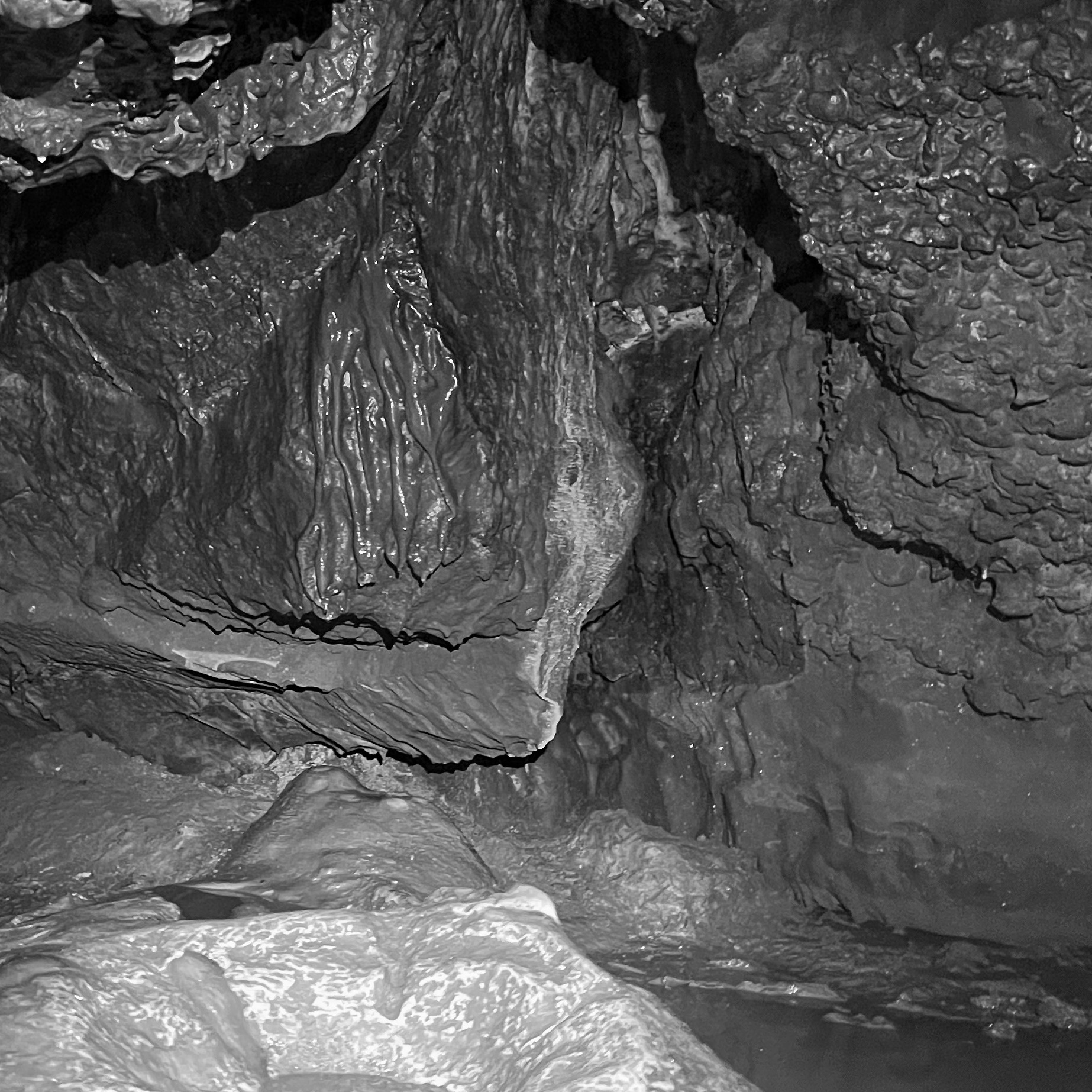
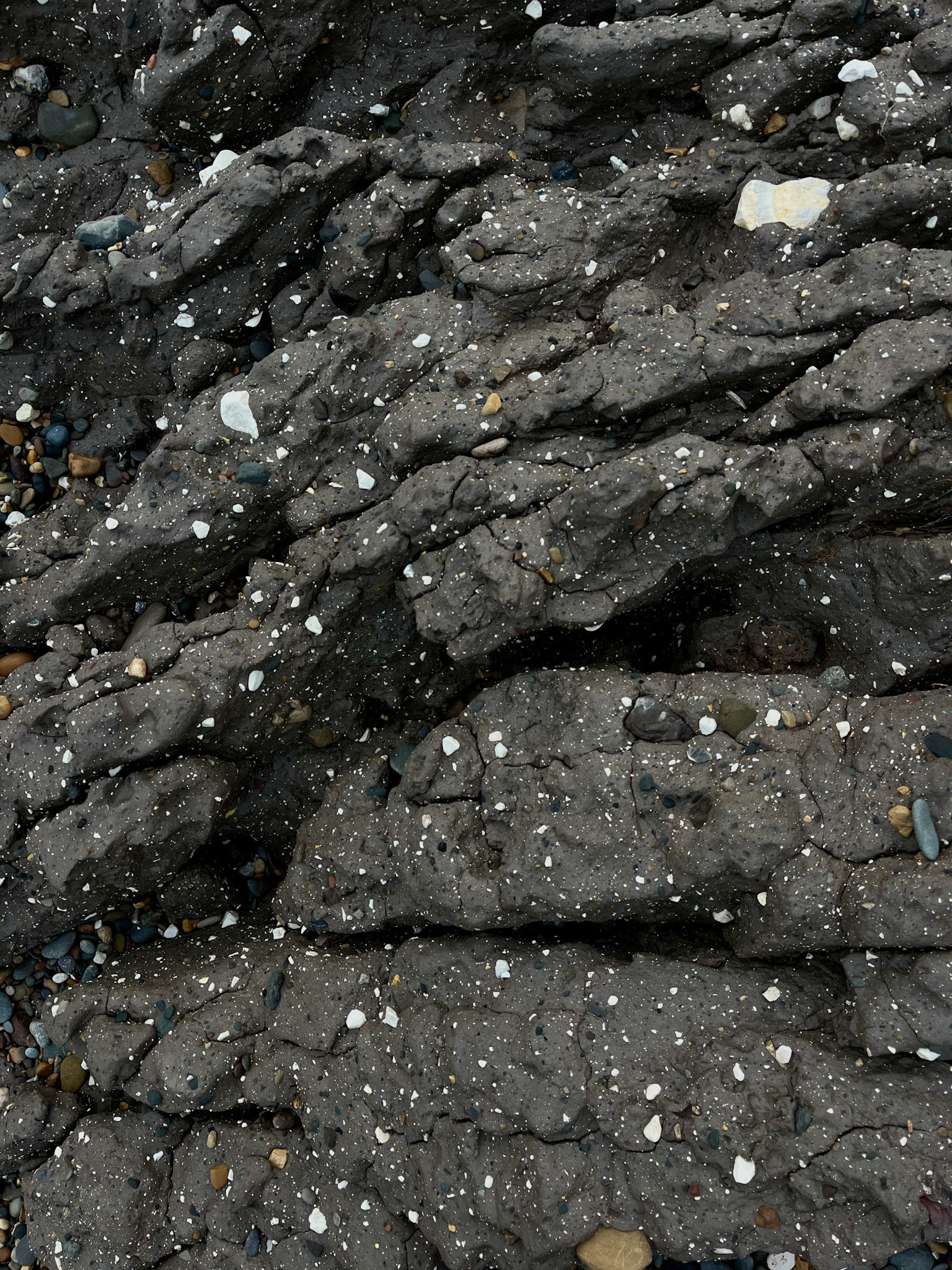
In the Peak District, specifically in the caves of the Peak District, around 50-70% of the clay that is found is made up of glacial sediments. I have researched the area of Stoney Middleton, which is the area of the Peak District where I go caving to gather clay.
Although the clay that is found in the caves originates from glacial till, the sediments found inside the caves are modified, as explained below:
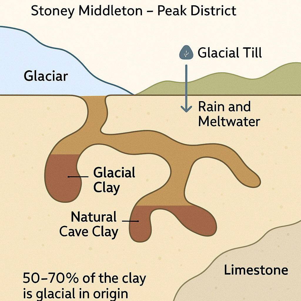
Due to the caves being formed of Carboniferous Limestone (explained in more detail in my DC3 report), when the limestone dissolves and clay residues, it often contains kaolinite, which is a clay mineral formed from weathering, illite and iron oxides, which give the clay its red/yellow tones.
Allochthonous Clay, which is the name given to clay that is brought in by water through streams and floods into the caves, is usually deposited as clay fills or mudbanks. This clay is finer, more layered, and often grittier.
Therefore, due to the glacial material being carried in from the surface of the caves, and not exactly formed inside the cave, this is why only approximately 50-70% of this clay is classed as Glacial Till. The diagram below explains a more simplistic vision of how this clay is distributed.
Hall, C. (2014). Geology of Stoney Middleton | Stoney Middleton Heritage. [online] Stoney Middleton Heritage. Available at: https://smhccg.org/geology/the-geology/
Davies, B. (2020). Interpretation of Glacigenic Sediments. [online] AntarcticGlaciers.org. Available at: https://www.antarcticglaciers.org/glacial-geology/techniques/interpretation-of-glacigenic-sediments/
This diagram was created with assistance from ChatGPT.
Hose, T.A. (2017). Map of the Solid Geology of the Peak District . Creative Commons Attribution-NonCommercial-NoDerivatives 4.0 International.
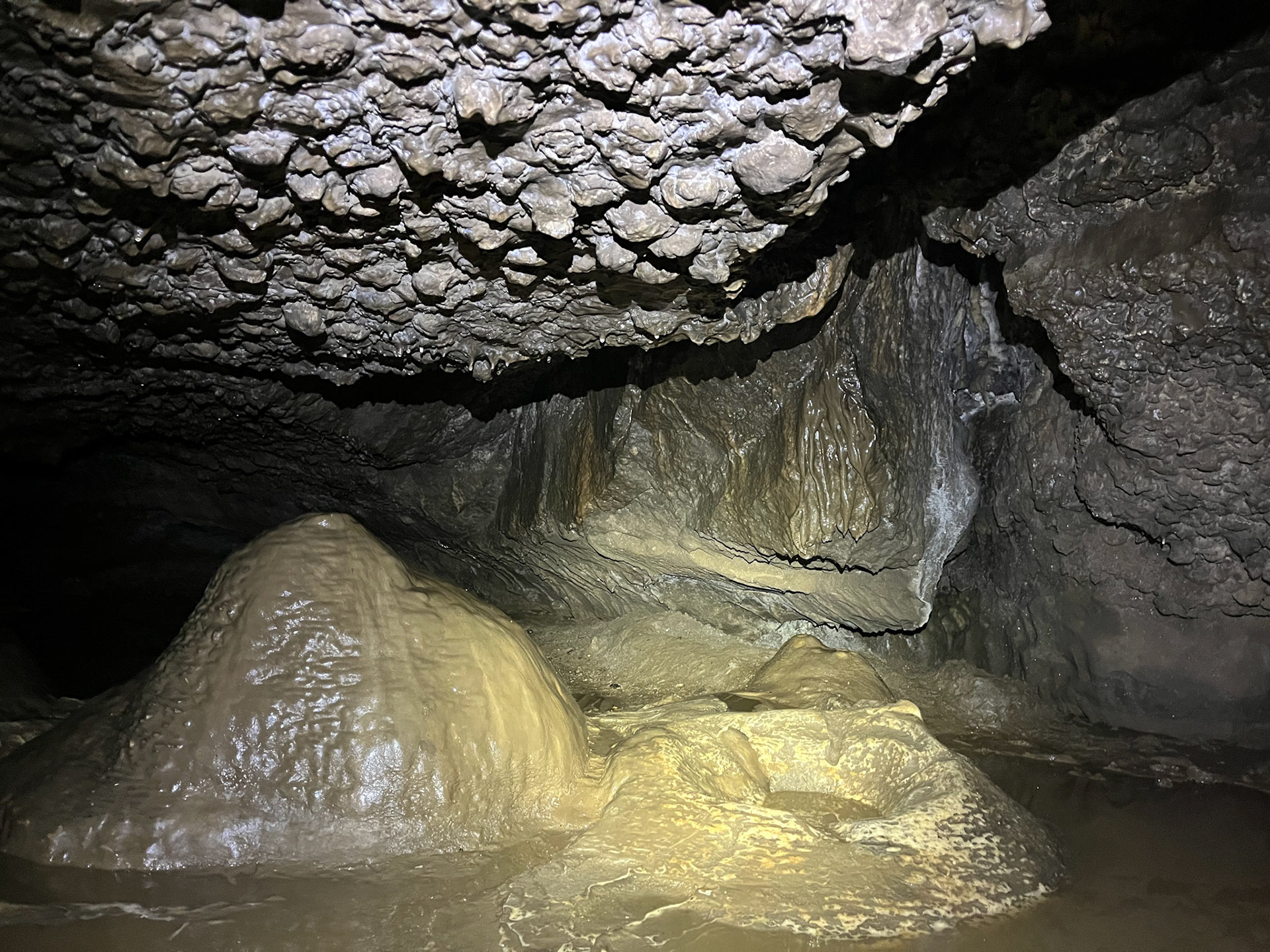
Caving in the Peak District
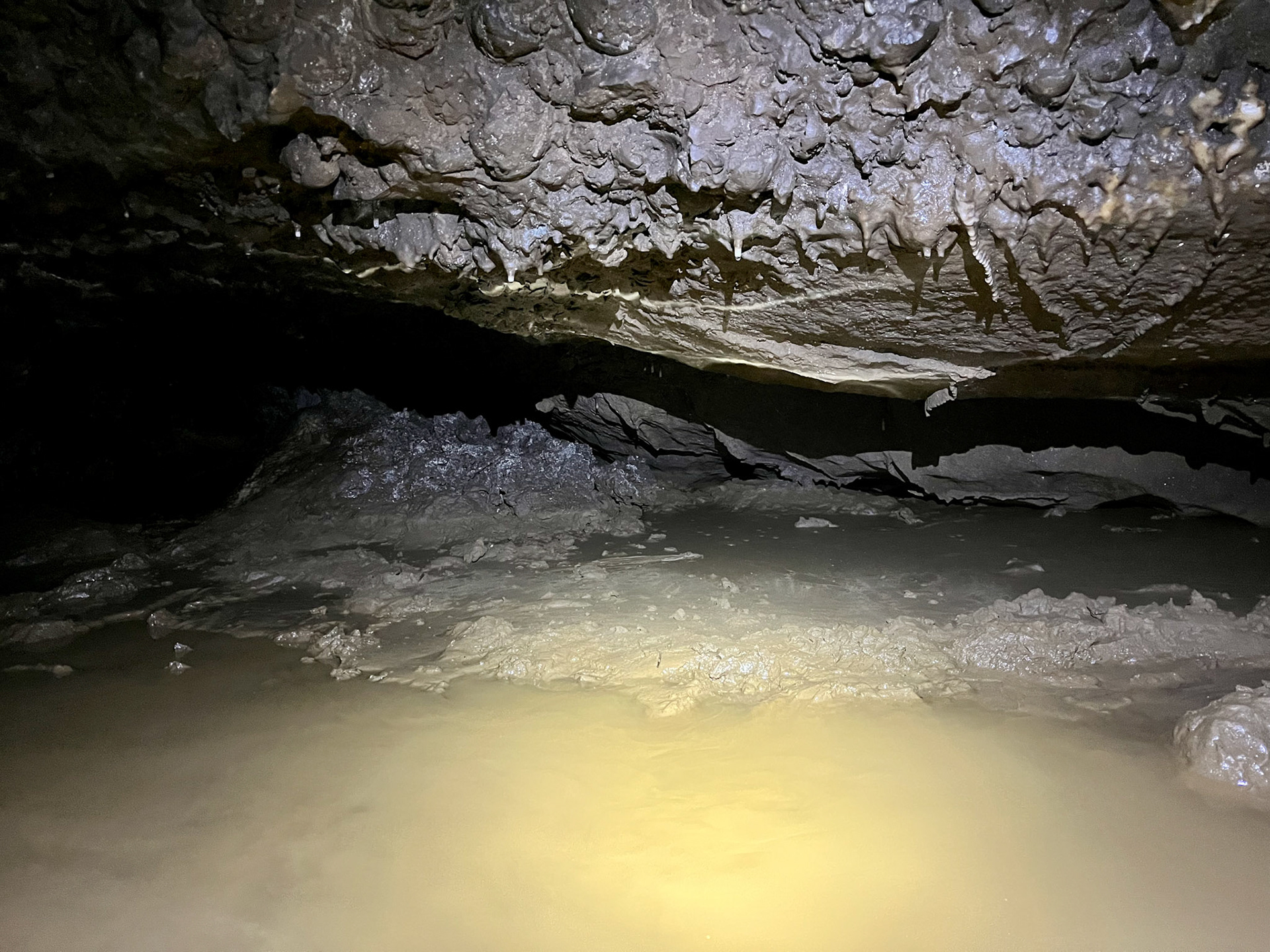
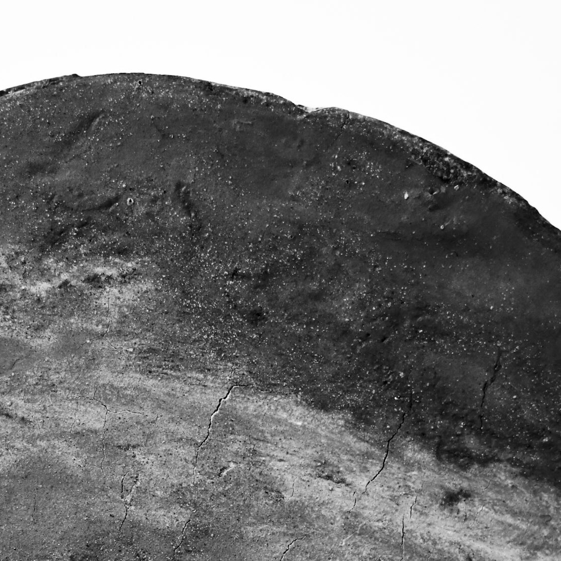
Finding clay in the caves of the Peak District
Holderness Coast- Glacial Clay
Some of the most significant regions where glacial till is found, due to the landscape's vast glacial till deposits, are the Peak District and the Holderness Coast, East Yorkshire. I decided that I needed to take a visit to the Holderness Coastline, as I have heard lots of exciting information about the large amounts of easily accessible glacial clay that is found here, due to the rapid erosion that the coastline is known for. This material was deposited around 12,000 to 18,000 years ago and consists of clay, sand, gravel and large stones.
Alongside the coastline, there are multiple layers divided into sections, which represent the different glacial tills. The main areas are the Basement, Skipsea, and Withernsea tills, each rich in illite and kaolinite minerals, which affect the clays' plasticity.
Bell, F.G. and Forster, A. (1991). The geotechnical characteristics of the till deposits of Holderness. Geological Society, London, Engineering Geology Special Publications, [online] 7(1), pp.111–118. doi:https://doi.org/10.1144/GSL.ENG.1991.007.01.07.
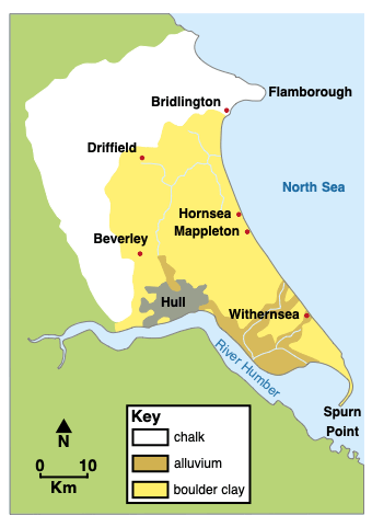
The geology of the Holderness Coast map.
Internet Geography. (n.d.). Holderness Coast Landforms. [online] Available at: https://www.internetgeography.net/aqa-gcse-geography/coastal-landscapes-in-the-uk/holderness-coast-landforms/.
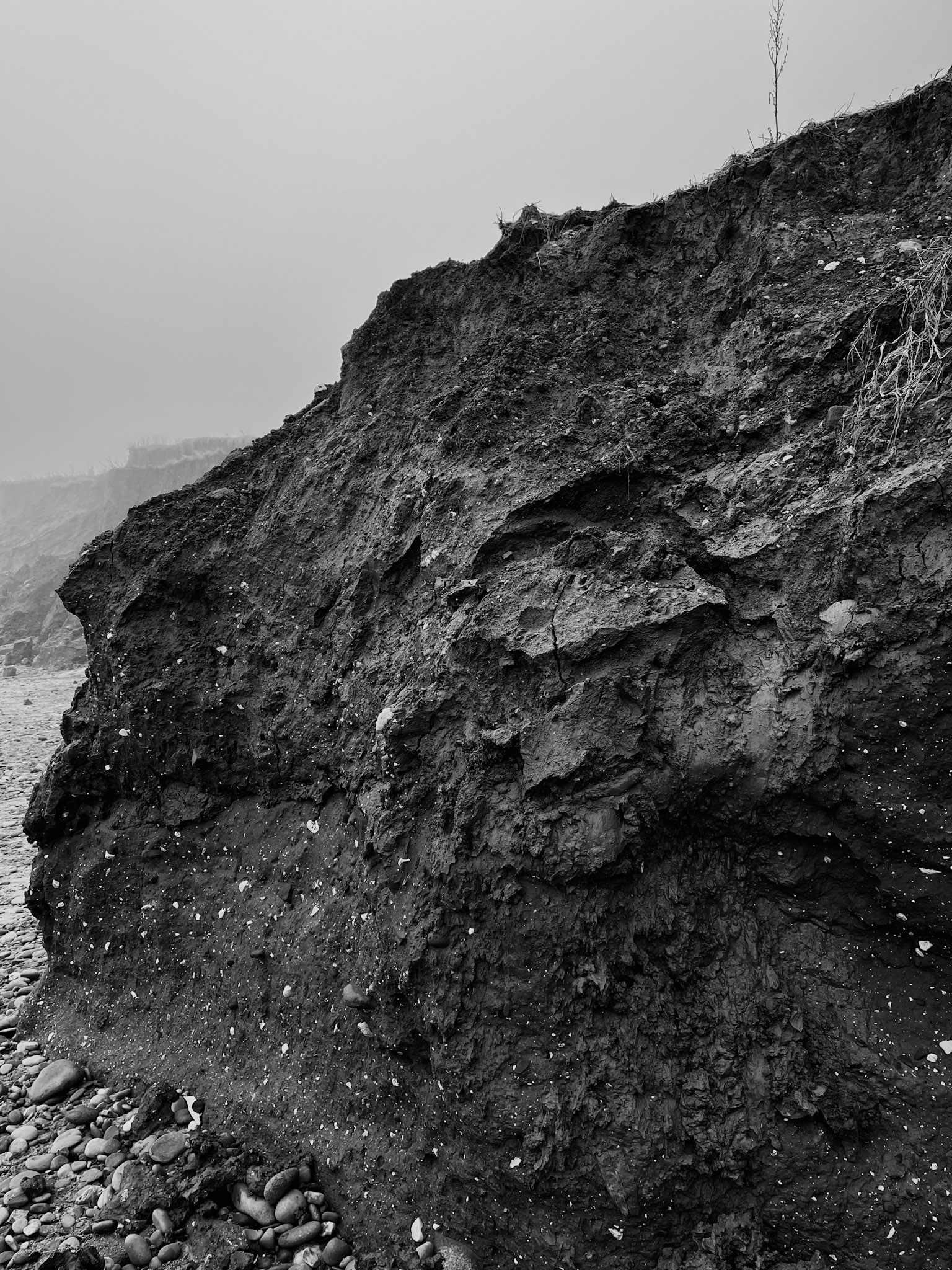
My photo from the Holderness Coast
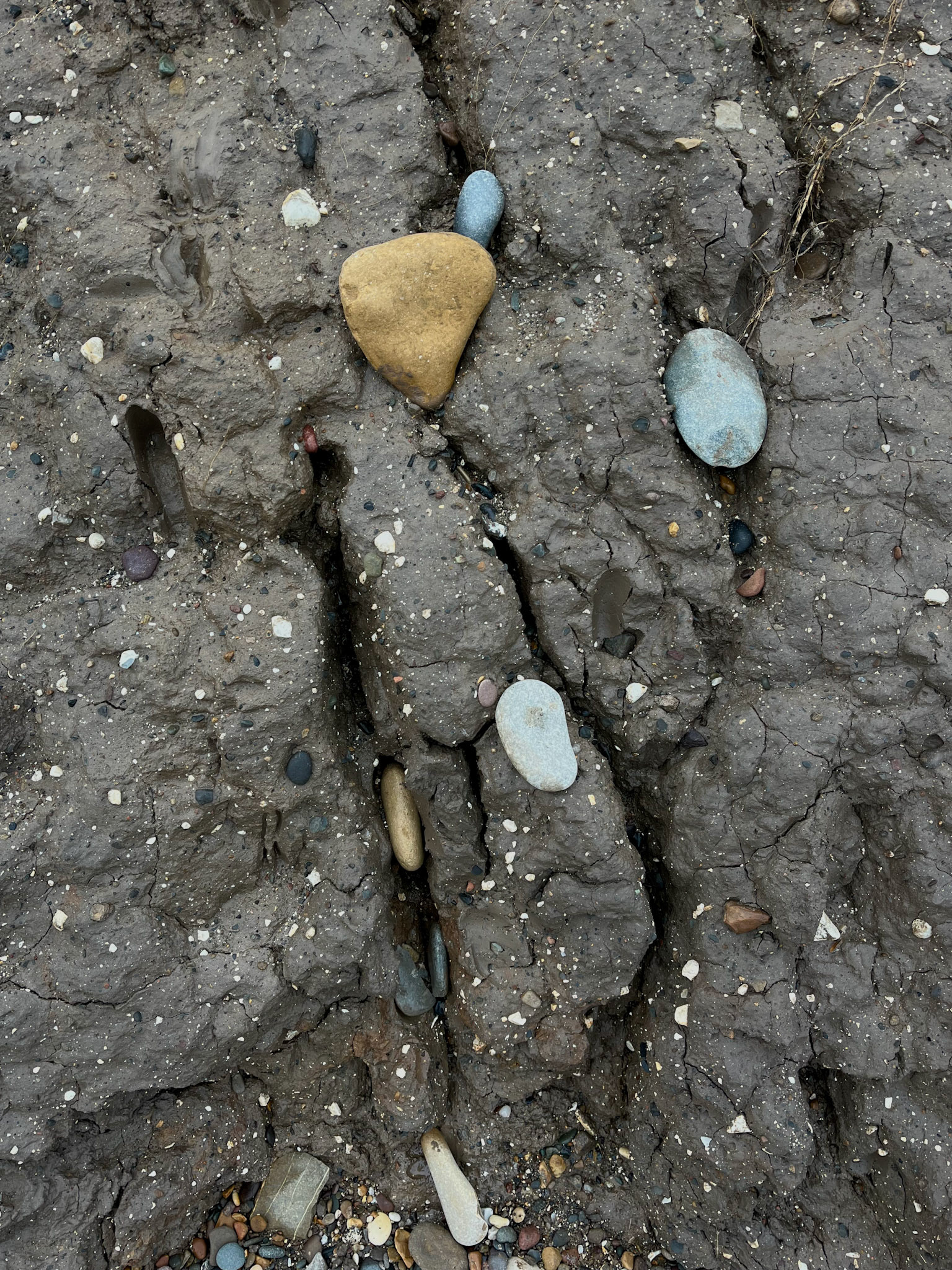
My photo from the Holderness Coast
My photo from the Holderness Coast
My personal connections to the geology of the Peak District
It has always been important to me to connect craft with geology. Coming from a family of geologists, I have been made aware of various rock formations and erosions throughout my upbringing. When beginning this project on investigating glacial cavernous clay, it was vital that I gained a better understanding of the geological composition of the land that I was working with.
Exploring the Peak District's histories and geological forms has made my practice more contextual and opened my understanding to more than just craft. I have, in turn, gained a more profound association with the geographic side of making with the land, developing my relationship with the natural earth that I have grown up around.
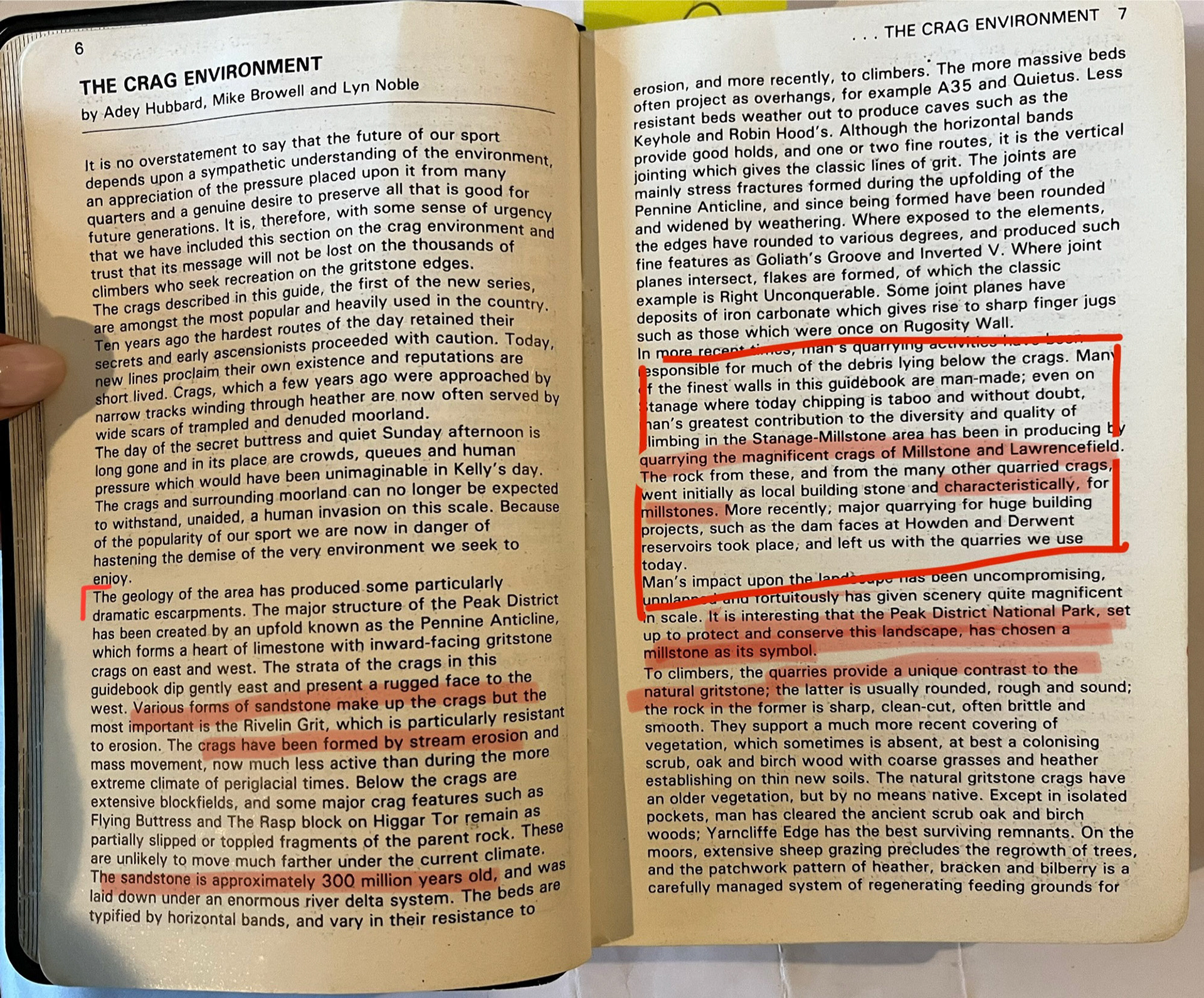
My Dad, who is a caver and climber in the Peak District, has many guidebooks on the types of rock for climbing in the area. I have looked through these books and have gained insightful information about the geology of the structures of the Peak District, which has helped me with my research.
My late brother, Patrick, was an avid geologist and outdoor enthusiast who had a deep connection to the landscape of the Peak District, investigating the rocks and minerals of the natural earth. He is a significant part of my decisions to base my practice on the geological studies of the environment, and in doing so, I have gained a deeper appreciation and understanding of his love and dedication to the exploration of the natural land.
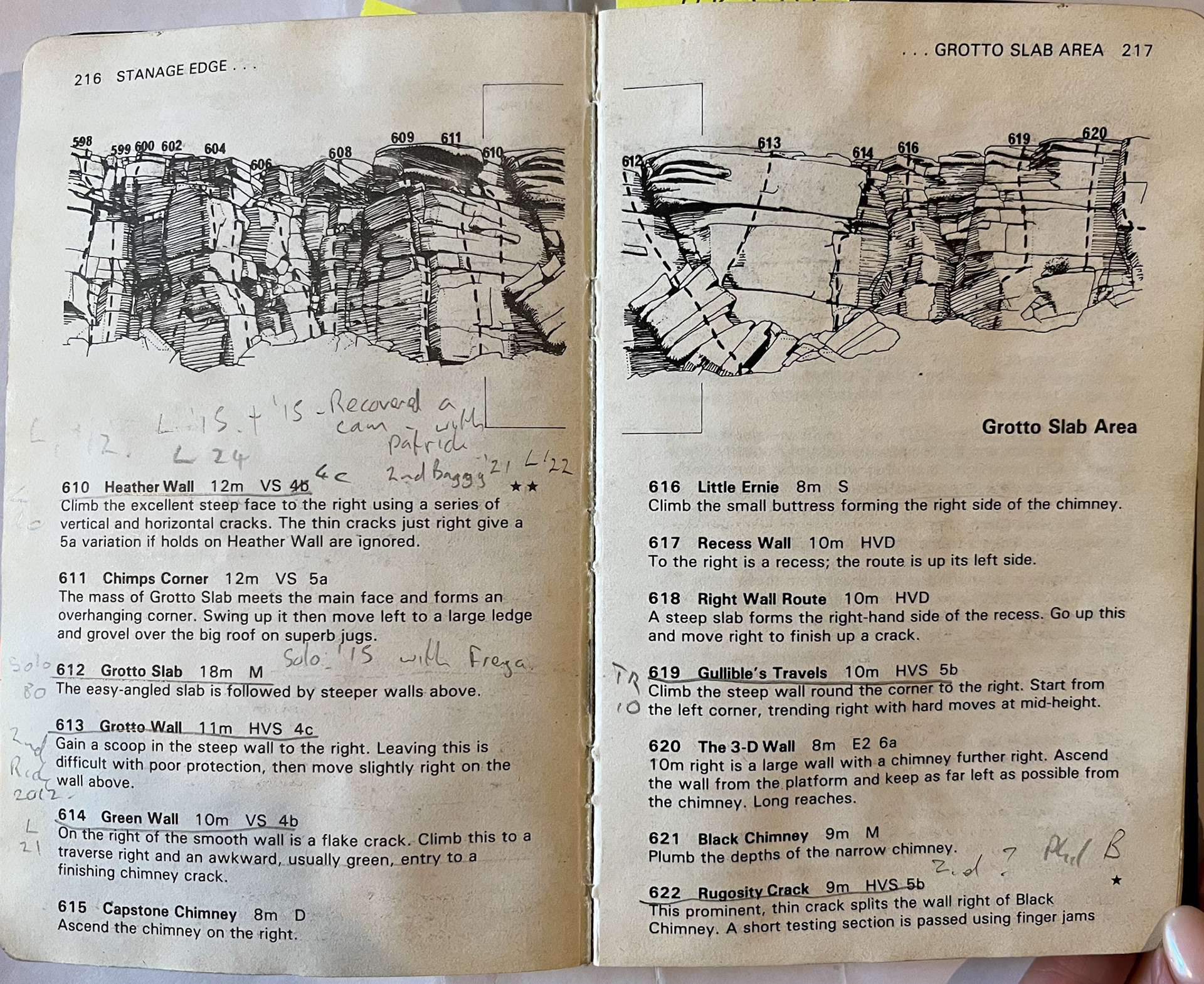
Notes from my dad's climbing book on the area of Lawrencefield